Scientific Expedition in the Mediterranean
State-of-the-art electronics platform for professional marine research. Up to 5 researchers + skipper.
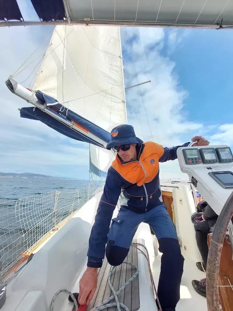
A boat built for science. A skipper with 20 years on the Mediterranean.
The Mediterranean is one of the most complex and threatened marine ecosystems on the planet — and one of the least sampled beyond standard coastal routes. Our sailing vessel BELA, a Finnsailer 34, is prepared to carry research teams to hard-to-reach areas: submarine canyons, posidonia meadows, bird migration corridors and cetacean routes.
This is not a tourist boat repurposed for science. It is a working platform at sea, with professional electronics, deck space optimised for sampling equipment, and a skipper who knows the currents, seabeds and meteorology of the Catalan coast and western Mediterranean in depth.
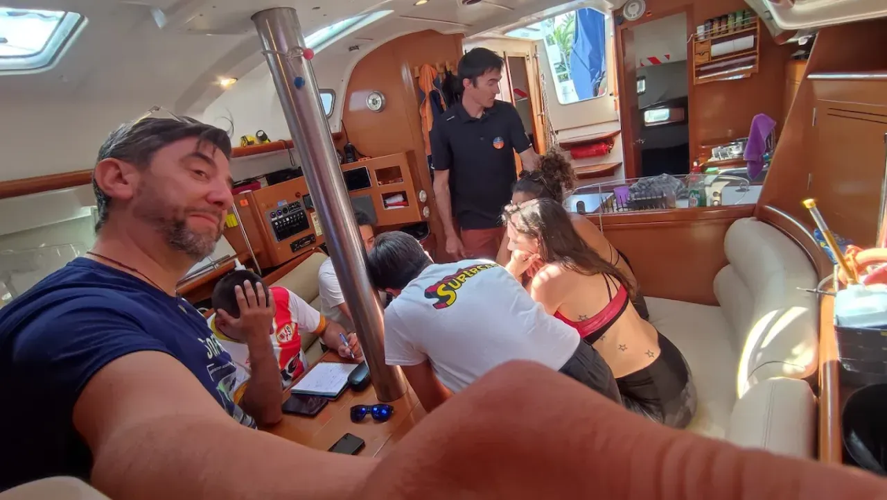
Maximum 5 researchers + skipper. Small group to guarantee real working space on board and minimal ecosystem disturbance.
Who is this service for?
- Universities and research centres
- Marine conservation NGOs and organisations
- Documentary production companies and nature photographers
- Oceanographic institutes and marine laboratories
- Ornithology and bird ringing groups
- Citizen science and environmental monitoring projects
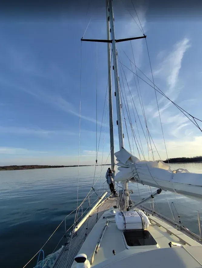
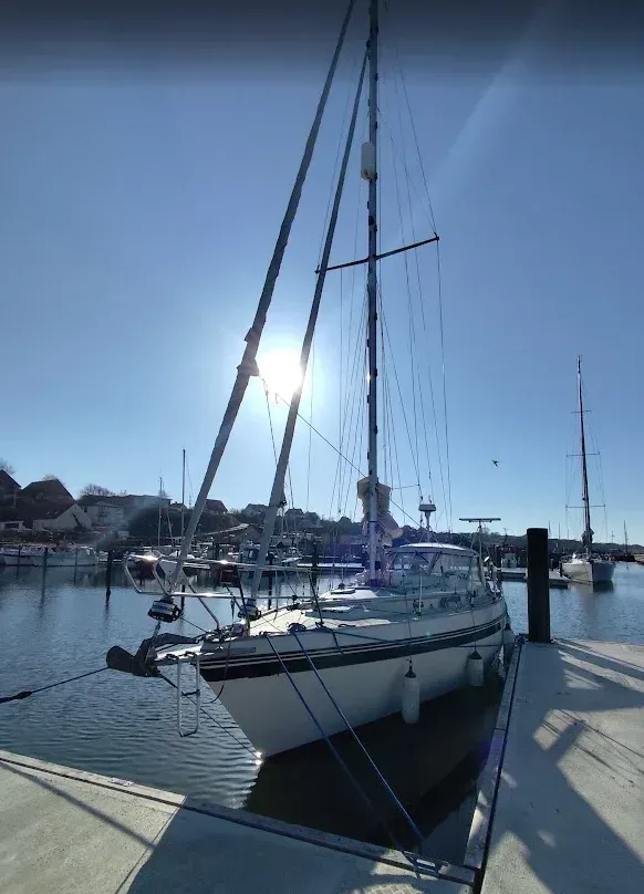
BELA — Finnsailer 34
Classic 10-metre sailing vessel. Robust, comfortable and ready for any Mediterranean condition.
Research areas
The boat adapts to the project, not the other way around. These are the research lines we are equipped and ready for.
Microplastics & pollution
Surface sampling with manta trawl net, water sample collection at different depths and floating debris documentation. Protocol adaptable to MSFD standards.
Marine biology & fauna
Sighting, identification and recording of cetaceans, sea turtles, pelagic fish and megafauna. HD underwater camera for non-invasive visual documentation.
Bathymetry & submarine geology
Seabed mapping with high-resolution bathymetric sonar. Identification of posidonia meadows, submarine canyons and geological structures of scientific interest.
Marine flora & ecosystems
Visual inspection and sampling of posidonia oceanica meadows, invasive algae and seabed condition in study areas. Snorkel and underwater camera included.
Marine ornithology
Seabird census at sea and in feeding zones. The Garraf coastline is one of the most active migration corridors in the western Mediterranean.
Oceanography & physical parameters
Sea surface temperature, salinity, water transparency and meteorological conditions recorded throughout the expedition. GPS-referenced data logging.
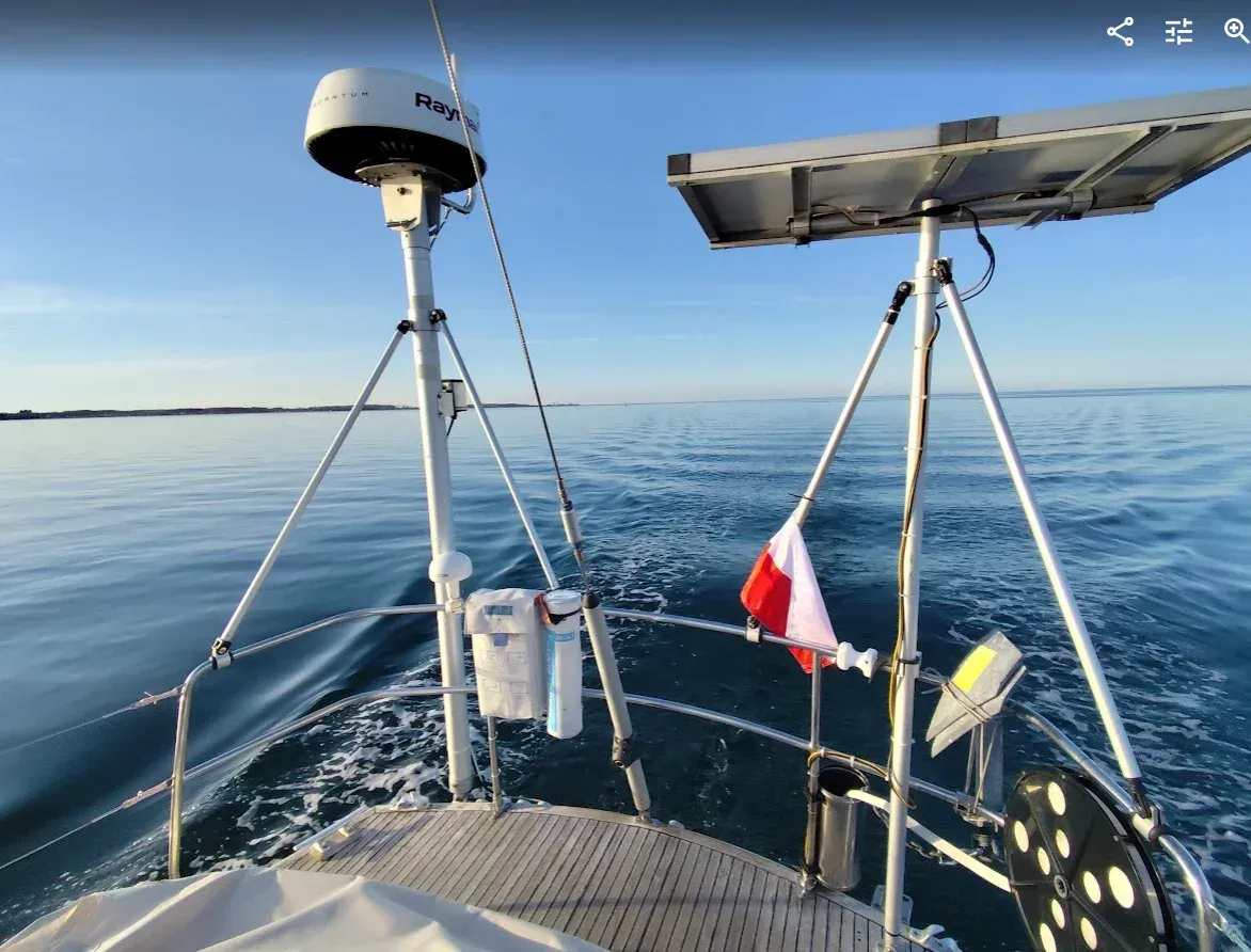
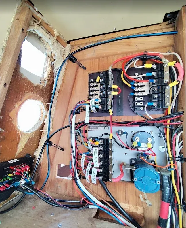
State-of-the-art electronics
BELA is not just a sailing vessel. It is an observation and sampling platform equipped to work in real open-sea conditions, with the technology needed to produce scientifically valid data.
Multifunction chartplotter with detailed bathymetric charts of the Mediterranean
Class B AIS and marine VHF with DSC — professional communications at all times
High-precision GPS with track logging and georeferenced waypoints
High-resolution bathymetric sonar for seabed mapping
On-board weather station: wind, pressure, temperature and humidity in real time
Marine radar for low-visibility navigation and obstacle detection
HD underwater camera with recording for fauna and flora documentation
Autopilot to free hands during underway sampling operations
Sampling equipment
- Manta trawl net for surface microplastics sampling
- Snorkel and freediving equipment
- On-board fridge for sample preservation
- Working space on deck and below
- 12V and 220V power outlets for instrumentation
- Digital logbook with position recording
Navigation capability
- Range for multi-day expeditions
- Ready to sail the entire western Mediterranean
- Home port: Port Garraf (Sitges, Barcelona)
- Skipper with 20+ years on the Mediterranean
- Berths available for multi-day expeditions
The skipper does more than sail the boat
Ricard Prehn has been sailing these waters for over 20 years. He knows the Garraf submarine canyons, the seasonal currents of the western Mediterranean, cetacean concentration points and bird migration routes. That local knowledge is part of the service.
During the expedition, Ricard actively collaborates with the research team: locating areas of interest, adjusting speed and heading according to project objectives, and sharing his reading of the sea. He is not a nautical taxi driver — he is a field collaborator with decades of direct observation experience.
The entire Mediterranean as your workspace
BELA can reach any point in the western Mediterranean according to your project needs.
Catalan Coast
Home base. Garraf, Ebro Delta, Cap de Creus.
Balearic Islands
Ibiza, Formentera, Mallorca, Menorca.
Spanish Levante
Valencia, Alicante, Murcia, Cabo de Gata.
NW Mediterranean
Côte d'Azur, Corsica, Sardinia, Ligurian Sea.
Do you have a research project?
Every expedition is different. Tell us your project objective, the study area, estimated duration and number of researchers. We will prepare a proposal tailored to your needs and budget.
What to include in your enquiry
- Scientific objective and study area
- Estimated duration (days / sessions)
- Number of researchers (max. 5)
- Equipment you will bring on board
- Approximate dates